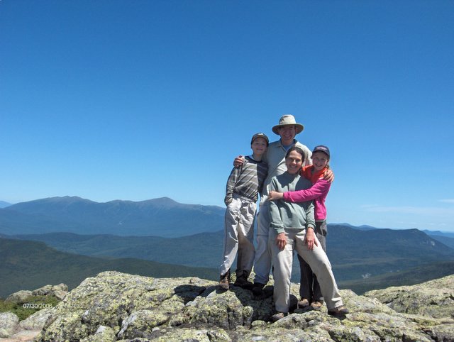
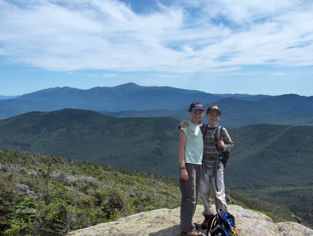
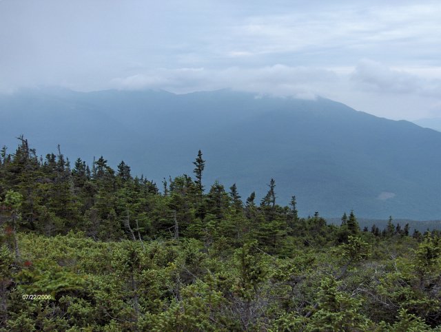
The traverse over the Twins and Galehead proved to be one of our more challenging hikes this summer, but provided us some of the best views we have seen in the Whites.
The day promised to be crystal blue with highs in the valley of around 77. Today the forecast was accurate. We parked our car at the Gale River Trail and were met promptly by the taxi service, that we had hired the day before to drive us the 7 miles to the North Twin Trail to being our hike.
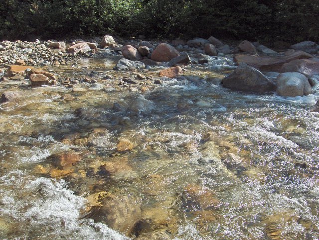
The North Twin Trail crosses the Little River three times. These crossings were impossible with boots on given the wet spring/summer we have had. The first two crossings were .5 miles apart and were able to bypass both with a well-developed herd path that was not challenging to follow. The third crossing we removed our boots and spends about 15 minutes studying the river for the point that seemed to be the shallowest and slowest moving to cross. This was not a trivial exercise, as we are inexperienced in wading across swift moving and bitterly cold mountain rivers.
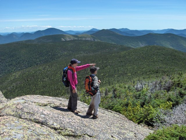
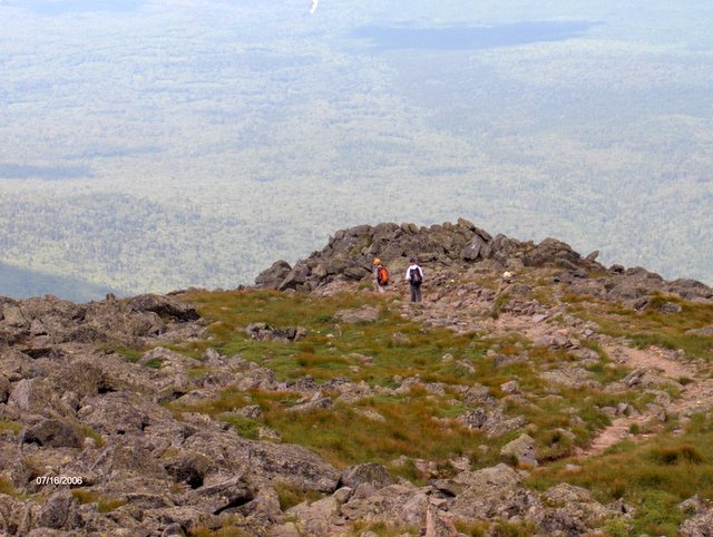
The two outlooks from North Twin were spectacular and Deborah was amazed as Jordan, Kate and I stood and named perhaps twenty of the mountains that we were seeing from the east outlook. This would not have been possible a few years ago but hiking the 48 does begin to build a mental map of where everything is in relation to everything else. When we first began to hike we could only hazard educated guesses as to what we were seeing.
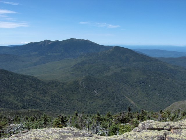
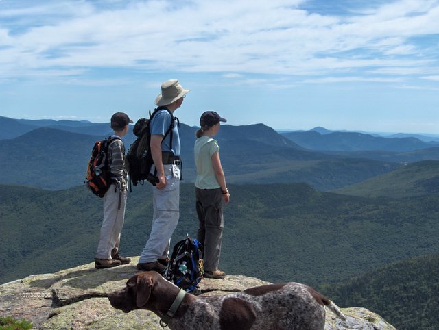
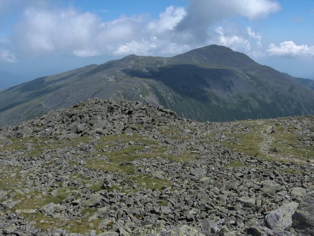
From the west outlook of North Twin the "beingness" of the mountains and the trees was palpable and amazing. We will definitely return to North Twin again.Across the ridge to South Twin we hiked and were greeted by an open 360 degree view. The summit was more crowded and somehow for us, even though the South Twin view is generally considered grander, the North Twin views took today's prize.
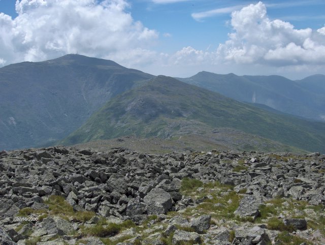
Down we went the Twinway to Galehead Hut. This was an unrelenting very steep, jarring trail that dropped 1100 feet in .8 miles. We are slow on such trails and today was no exception. From there we took the short ½ mile Frost Trail to viewless Galehead Mountain. Back to the hut for a brief rest and then the 4.6 mile descent. There were two crossings of the Gale River that we needed to remove our boots. The first crossing we could have tried rock hopping but the water was so high and moving too swiftly to safely attempt this. The final crossing had a footbridge which went out in this spring's rains but has not been replaced by the Forest Service, so one more practice in wading across was afforded us. The river crossing experience we obtained today will be helpful when we climb Owls Head. Peaks #42, 43 & 44
Distance 12 miles; Climb 3800 ft; Elevation North Twin 4761ft; South Twin 4902 ft; Galehead 4024 ft.